It’s 2:30am and my alarm is making a noise. I turn it off and start to contemplate just what on earth I’m doing. I convinced myself it would be a good idea to photography the night sky and as I look out the window to see if the sky is clear, there are no excuses to stay in bed.
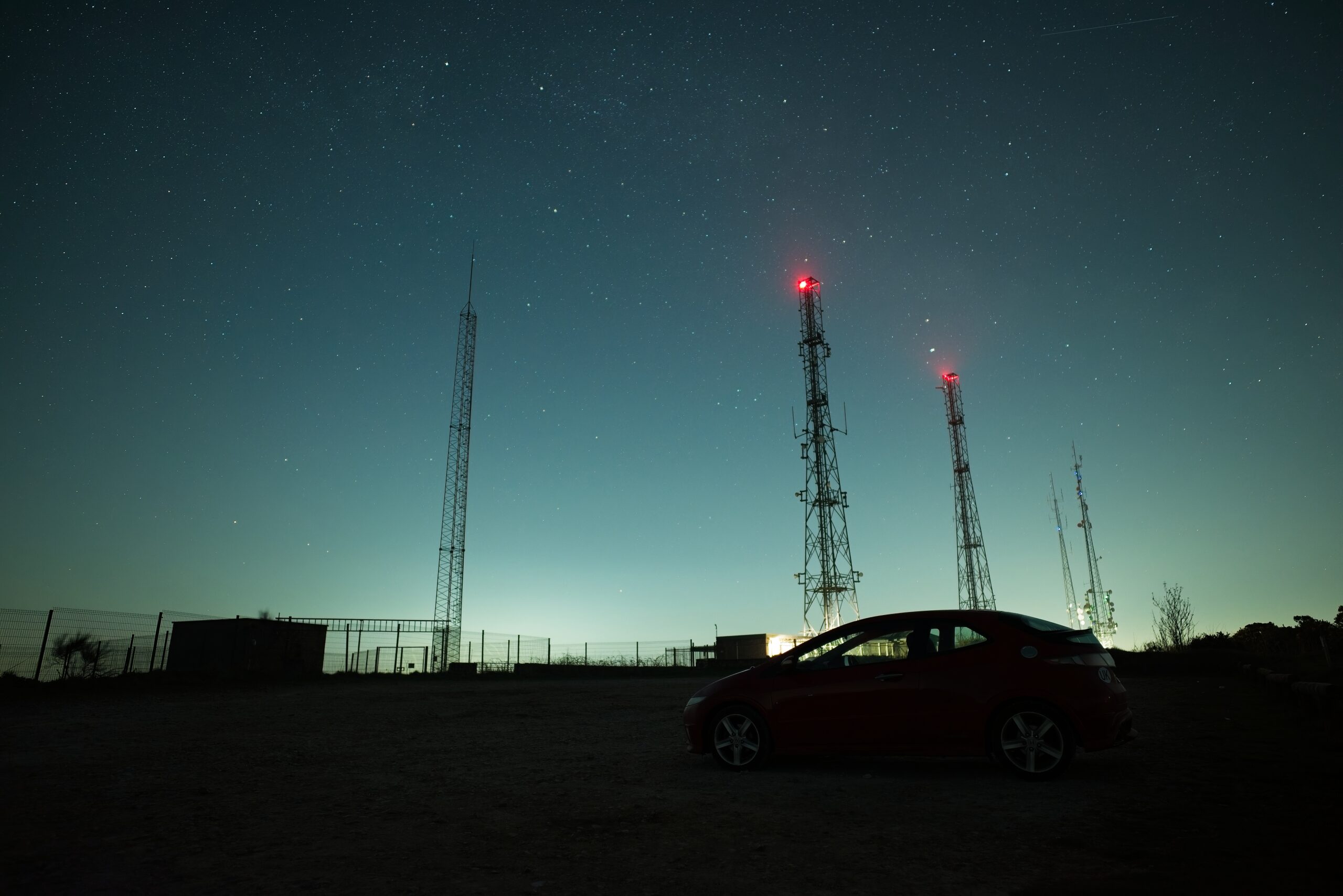
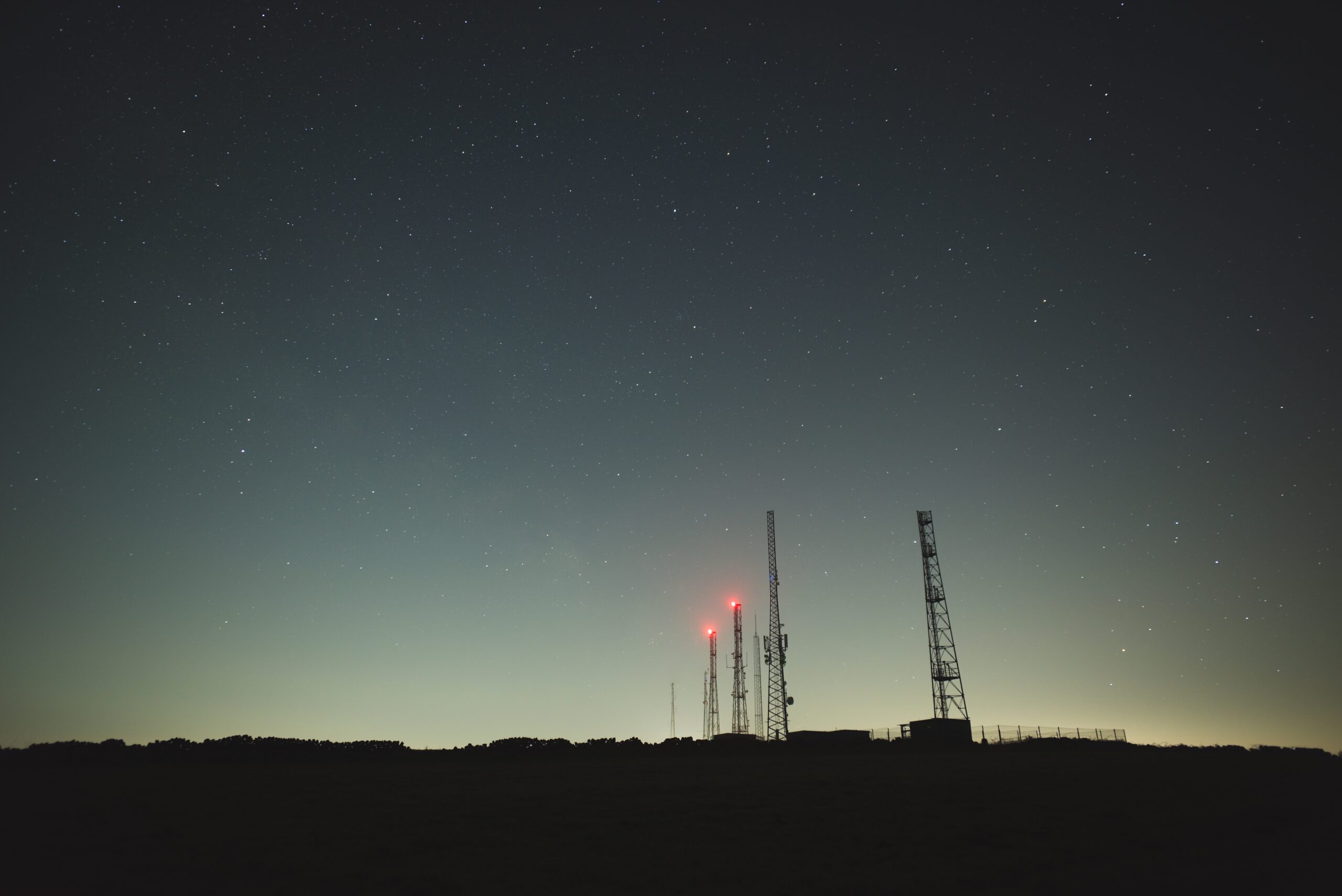
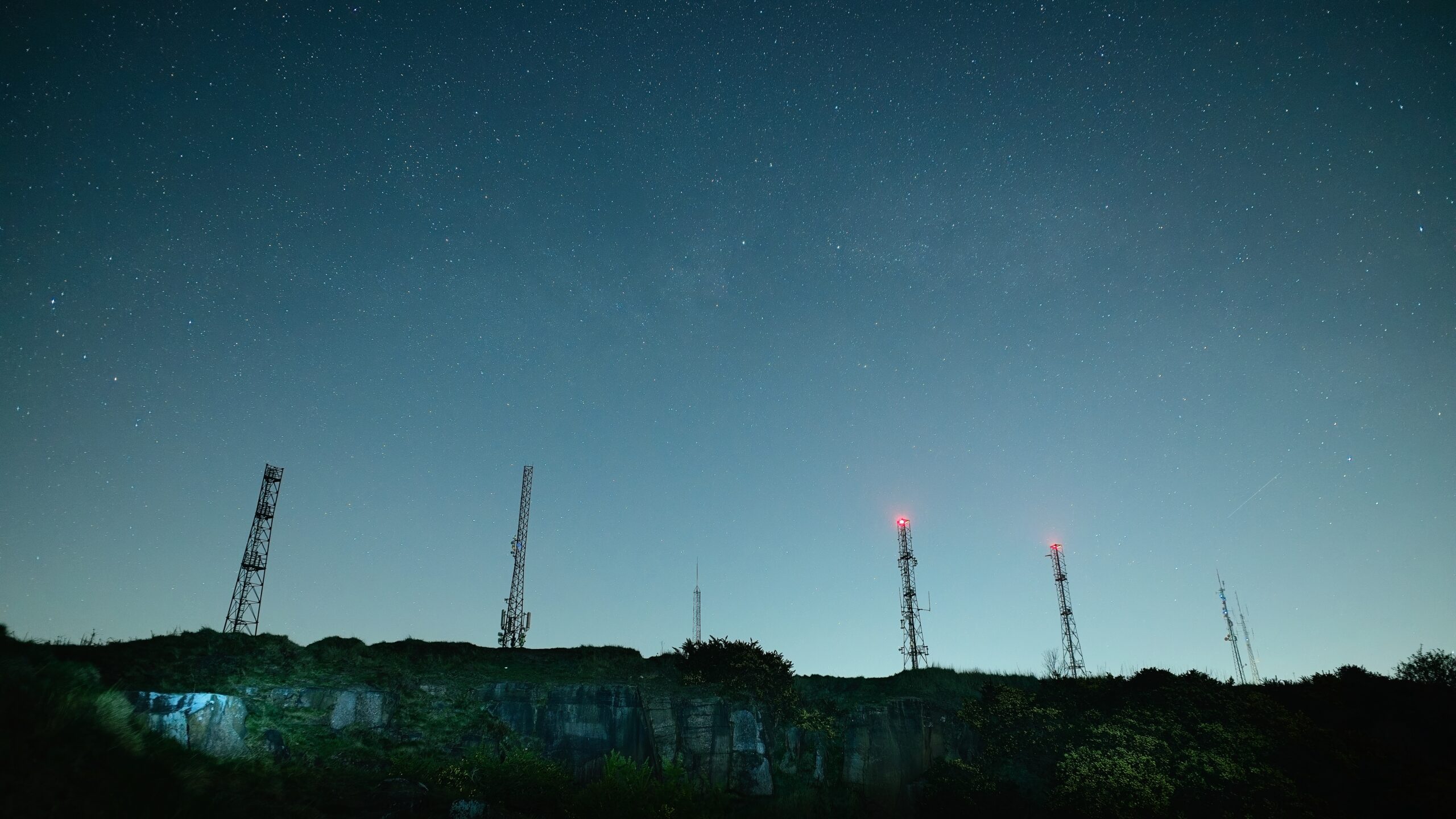
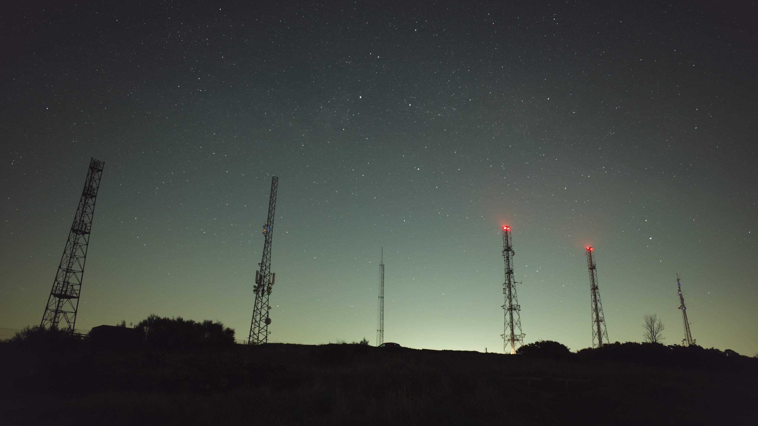
I wasn’t expecting perfect results on my first attempt, this was more of a fact finding mission where I learn how to plan a shoot, set up my camera and see in the dark. Alport Heights was chosen as the location, it’s one of the taller hills in the area and has several radio masts built on top of it that I believed would provide some interest. Research I had done beforehand showed that the core of the Milky Way would be visible between 3:30–4:30 and at that time the moon wouldn’t be visible.
Many factors have to align so that what I wanted to achieve could happen. Looking back, I realise I’ve enjoyed the preparation and research before even going out with the camera, then when all of that comes together to produce the photograph I first imagined is extremely satisfying. My previous visit to Peak Tor is a great example of a previsualised image and the planning resulting in what I wanted to accomplish.
Below are the photographs from Alport Heights. I couldn’t see the Milky Way as I believe there was too much light pollution, unless returning and improving my technique can help to reveal more detail.